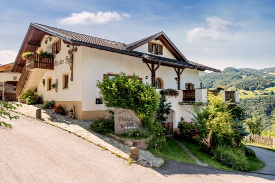

How to arrive
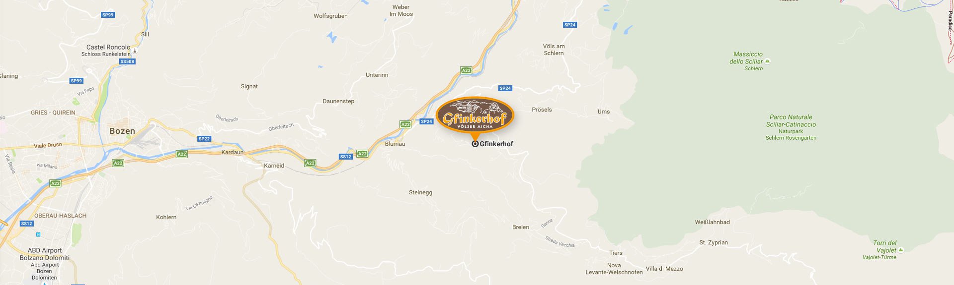
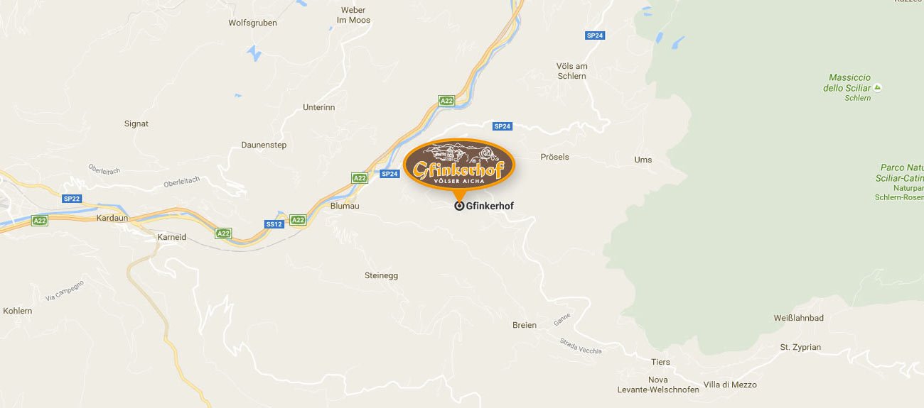
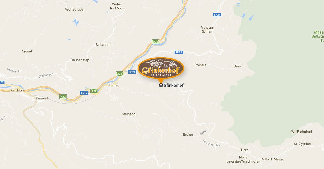
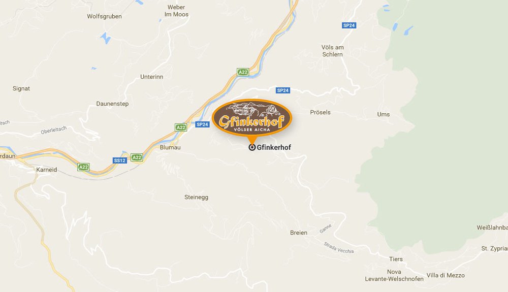
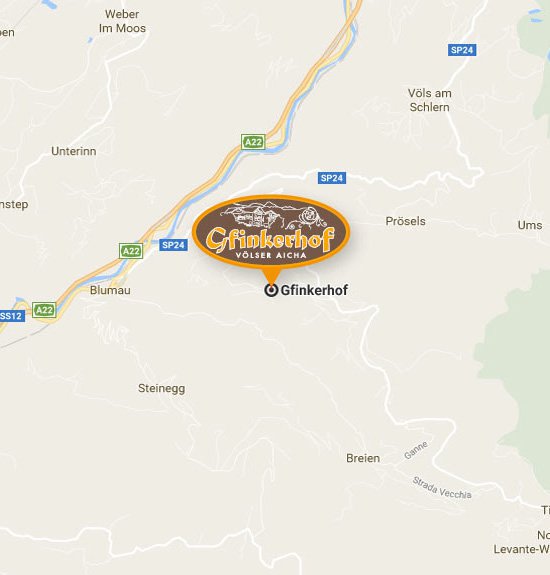
Google Maps
Load Google Map
The map was embedded by Google Maps.
Google privacy policies apply.
Coming from the South:
Highway exit A 22 Bozen Nord – Seiser Alm/Schlern area – Völs 15 km
Take highway exit Bozen Nord, direction Brenner, near the town of Blumau, take the left tunnel direction Völs am Schlern, turn right at Gasthaus Faust, direction Tiers after around 5.5km, turn right after a sharp-edged curve on the left and after around 1.2 km you will find our farm.
In your navigation system you should input the Italian road name “aica di sotto”, as the German name Unteraicha is not known by the system!
For your car you will have a parking lot available.
Useful links for the public transport
Express request
Guestbook


Gallery

Events